Welcome to See The Light! It’s a grand name for a rather long solo sea kayaking adventure, paddling all the way around the island of Ireland, both for enjoyment and also to raise some money for a few charities. Continue reading “Welcome to See The Light!”
Tracks and statistics (second half)

Statistics
Here are the statistics and track logs for the second half of the trip, together with a summary for the whole trip.
Last Legs

I’d arrived into Ardglass in a north-easterly wind with a rather rough ride from Strangford Lough. Next up was the low-lying St. John’s Point where the coastline turns south-west towards the Mourne mountains, the other side of Dundrum Bay. It’s another 20km open crossing to reach the port of Annalong.
The wind turned northerly, the right direction for a push home, but with gale or near-gale gusts for two days there was too much of it to consider paddling. On the third day it dropped but was still gusting F7 and had now veered south-westerly, now too much for a head-wind. It was particularly frustrating to be only 135km from home, yet unable to make progress.

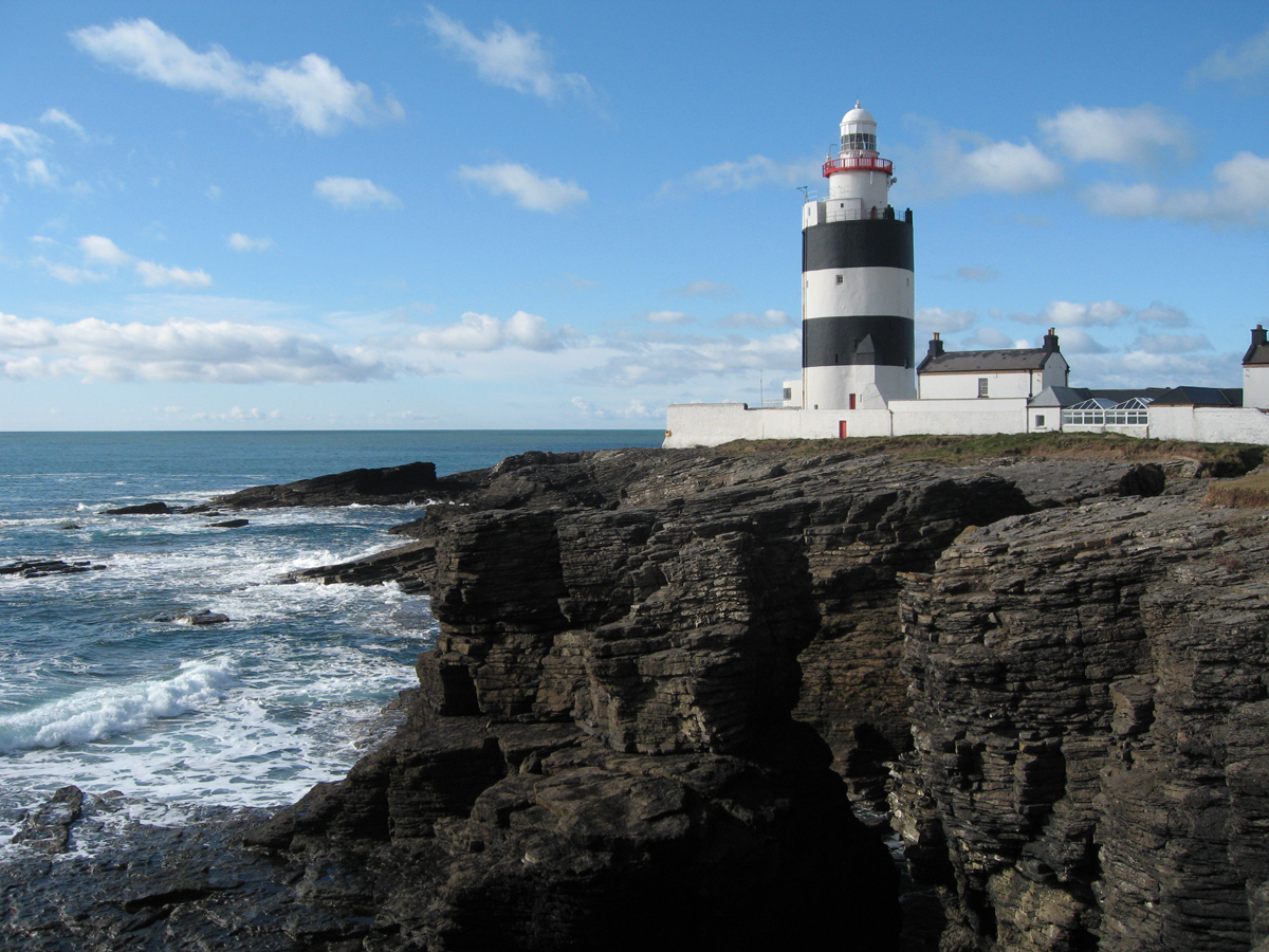
Finally, on the fourth day, the forecast showed an early morning window with light south-westerly wind until mid-morning but then increasing sharply. I got up early and left Ardglass in near calm conditions and sunshine, quickly passing St. John’s Point lighthouse and heading out across Dundrum Bay. The first couple of hours were easy with just small wavelets and little wind. By mid-morning, a bit earlier than forecast, the wind arrived. Waves formed and progress, whilst still quite manageable, was now much slower. I cut further inshore for the last hour of the crossing to get a little shelter more quickly and slowly made my way to the slip at Annalong for a break. I was now in “provo-land”, according to the not-quite-erased graffiti on the wall.

The rest of the day passed more quickly than expected as I made my way around the coast first passing Kilkeel and then an unidentified man in a sea kayak going the right way (with the wind), before easily crossing the entrance to Carlingford Lough. I finally stopped at Shelling Hill beach, Templetown, on the north side of Dundalk Bay, some 50km after leaving Ardglass. I thought about going on to Clogherhead, but with a lighter north-westerly tail-wind forecast for the next morning, there was no point struggling further today.

Monday, 3rd July, was bright and with just a light breeze. I could see what I thought to be the Skerries Islands and perhaps Lambay, all familiar territory not far from Dublin. The 21km crossing direct to Clogherhead was quick and uneventful. The paddle from there to Skerries comprises about 30km of mostly sandy beaches in one sheltered and gently curving bay, easy paddling but not very interesting. I was delighted to reach the familiar RNLI slipway at Skerries by early afternoon and took the opportunity to get some soup and a toasted sandwich, my second lunch of the day, in Joe May’s pub.

I would like to have settled in there for the remainder if the afternoon, but with plenty of headwind forecast for the next day, I decided to press on around the corner to Rush. By now I was almost at Lambay Island and Howth Head, marking the north side of Dublin Bay, was clearly visible. John Markam arrived to collect me moments after I arrived and that evening kindly plied me with fish and chips, beer and a bed at his home in Swords.

Tuesday 4th July was to be the last day of my adventure. It wasn’t a bad day, but with the wind gusting to F5 in the morning and south-westerly again it was going to be hard work to start with. I didn’t particularly mind as I made the short crossing to Donabate and then headed out to Ireland’s Eye. Unfortunately the Dublin map, which was also used for departure, had long since been posted back to Robin. It didn’t matter as visibility was good and these were familiar waters. I landed Ireland’s Eye for a break after a couple of hours and fiddled with the GoPro again, a constant source of frustration, knowing that I had plenty of time before the pre-arranged rendevous at The Bailey. All was sheltered and calm around the back of the island, there were a few puffins in the water and numerous other sea-birds nesting on the cliffs. It was one of few occasions on the trip that it had been calm enough to get right up to the cliffs. I headed on around Howth Head to The Bailey, the lighthouse marking the north side of the entrance to Dublin Bay.
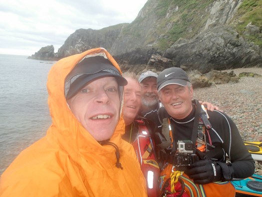
By the time I’d eaten my sandwiches on the beach, the advance party had arrived to welcome me, Alan Finn, Mick Carroll and Willie Collins. There was no particular rush today, so we chatted and ate some more lunch for a while, before heading off to begin the 10 or 12km crossing of Dublin Bay. The fast ferry whizzed across some way in front of us, but otherwise there were no boats in sight. We met up with the remainder of the welcoming party in the shipping lane, just past the stripy buoy, and hung around joking and taking pictures for a short while, whilst keeping a good lookout of course!

It wasn’t a particularly fast crossing with the conditions, but nobody was in a hurry. By 3pm we’d arrived at Bullock Harbour, on the south side of Dublin Bay to be welcomed also by my family, who’d flown over specially that morning. It was great to have so much support, not just at the finish, but actually all the way around from family, friends and the paddling community. So that was it, 1619km paddled in 59 days with 20 days lost due to the wind. It’s not a fast time, but it doesn’t matter. Whilst I enjoyed my adventure away, I was also pleased to be back!


